- Along the side of the hill
Take the direct route towards Beaumes but, just before the bridge across La Salette, go down to the right and take the path alongside the stream, passing the tennis courts. When the path crosses the stream follow the road round the camp site until you reach the signpost Las Moulins. Turn left. On reaching the main road go right for a few metres then cross over and go up Avenue du Portail Neuf. Take first right up Chemin de Durban. At the Grône signpost, take the left up Chemin des Gonnet. Climb this road, with good view of back of chateau, and soon after steep bend there is an iron bench up on the left. There is also a yellow turn left sign on the telegraph pole. Turn left. It looks like a private entrance but then immediately on your right is the hill path marked in big letters as Chemin Pedestre etc. Follow this up through the scrub until you come to a broad forest track. Turn left and amble easily all the way down to Notre Dame d’Aubune, which is an interesting chapel. Return via the small, metalled small road that runs east all the way into Beaumes.
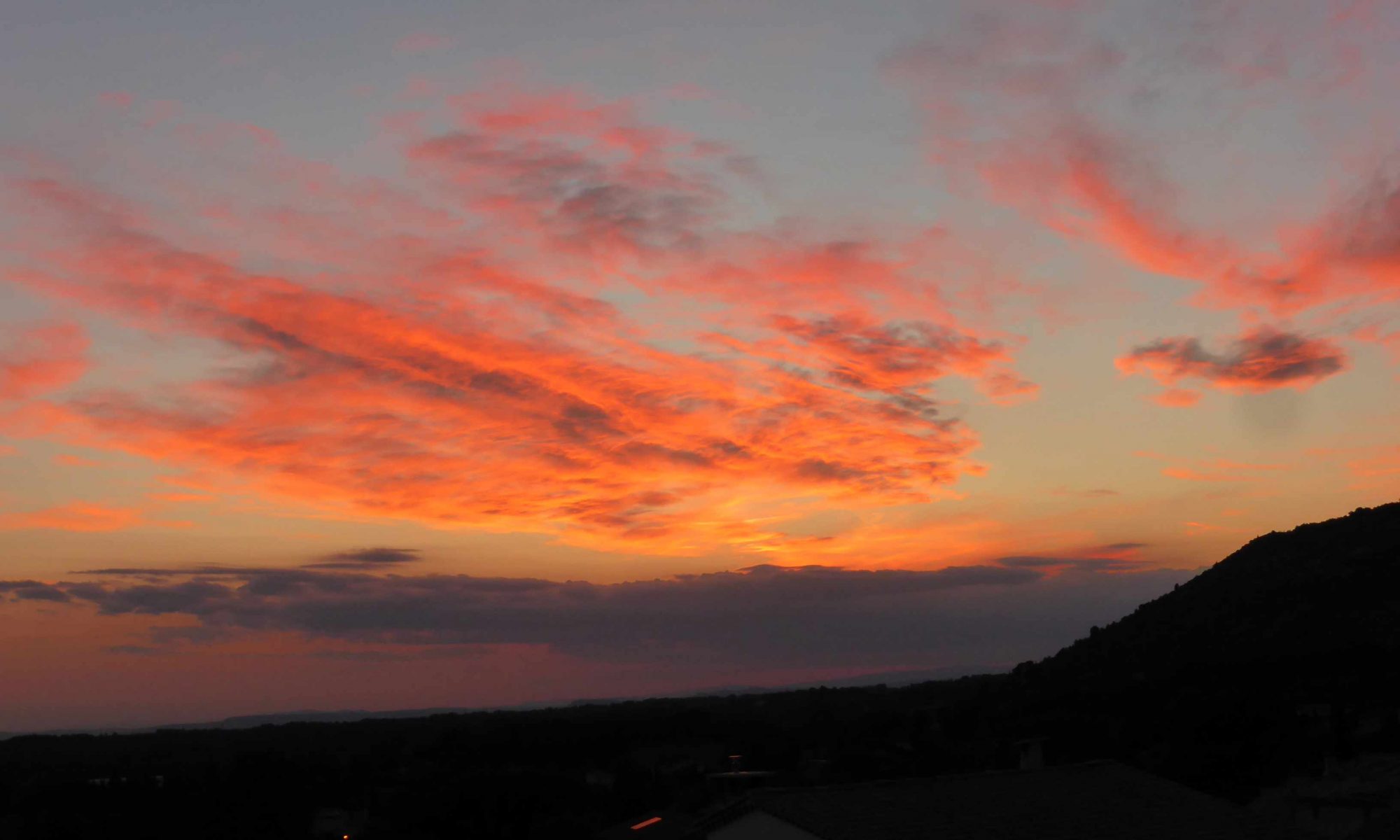
Walk has good views across the plain to Avignon, Carpentras and all the way to the Luberon range. About 4km in all; 1.5 hours.
2. Over the top
An alternative is to start as per 1) above but, on reaching the forest track, go right and then left and continue up the path until you rejoin the Chemin de Durban up on the plateau. At the road, turn left until you reach the two Durban signposts. At the first you can go left up to the Chapelle Saint-Hilare. When you reach the top of the hill, about 250 metres, there is a small vineyard to your right. Pass along the left hand side of this and walk on until you reach the Chapelle. The building is under renovation and you cannot get inside but it is still worth seeing and has great views over Beaumes and all the way to Avignon.
There is a small path out the western end of the Chapelle grounds. Follow this track for a few hundred metres and you will come to a fork. You can choose to go left, and take the direct route down which involves a steep and pretty rugged path, or go right and then left to join a gentler track , which goes round the hill rather than up and over but will add 2km. Both ways are marked.
Once on the path you will not be spoiled for choice about the route. Just follow the yellow markers and take it easy.
If you choose the track, follow it down until you meet a narrow, metalled road. Turn left and go along the road for about 300 metres. Then turn left again (yellow left sign on the telegraph pole) on to Chemin de Payard. Basically, the hill is always on your left as you follow it down and round. Follow this track; watch for sharp turn right and then sharp turn left (yellow left turn sign) after about 300 metres. Path a bit rough in parts but only gently sloping. Head towards the main road but, just before you reach it, you cross the Canal de Carpentras. Once across, follow the path alongside the canal, cross one road (a private entrance) and at the next bridge, take a left up to the church, which you can see clearly from the canal.
Return to Beaumes as per 1) above.
This longer walk over the top adds great views of the plateau and the Dentelles and the possibility to visit the Domaine de Durban (though you can always drive there later). About 6km, 2 hours or 8km, 2.5 hours depending on return route chosen.